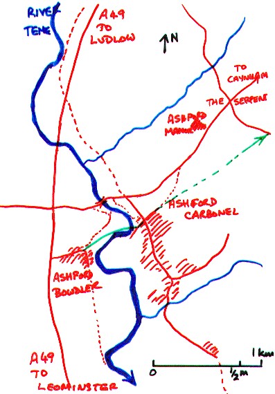
The Ash-ford SO 520 711
Derivation : “Ash-tree ford”. It was called “Esseford”
in Domesday and gave its name to the two parishes of Ashford
Bowdler and Ashford Carbonel, lying on either
side of the river Teme. Ashford Bowdler takes its name
from Henry de Bodlers in 1242 while Ashford Carbonell takes its name from the
Carbonel family - John Carbonel in 1221 and a charter of 1174 granting Ashford
to William Carbunel. It was called “Nether Ashford” to distinguish it from “Upper
Ashford” or “Ashford Jones”, probably called after John de Esseford who was tenant
in 1240-56. Upper Ashford corresponds to the modern “Ashford Manor” some distance
from the river and alongside the road to Caynham. In 1797, the ford was replaced by
the bridge designed by Thomas Telford.
Description. The map shows the River Teme south of Ludlow and the two parishes
of Ashford Bowdler and Ashford Carbonel on either side of the river. The Ashford bridge
is shown on the road to Caynham and the green line indicates the probable line of the
track across the Ash Ford. The present day footpaths have been diverted to
cross the river by the new (1797) Ashford Bridge. Other tracks through Ashford
Carbonel lie on routes from Ludlow to Little Hereford. The route through
Ashford Carbonel survives mainly as footpaths or bridle paths.
|
 |
Visits and photographs.
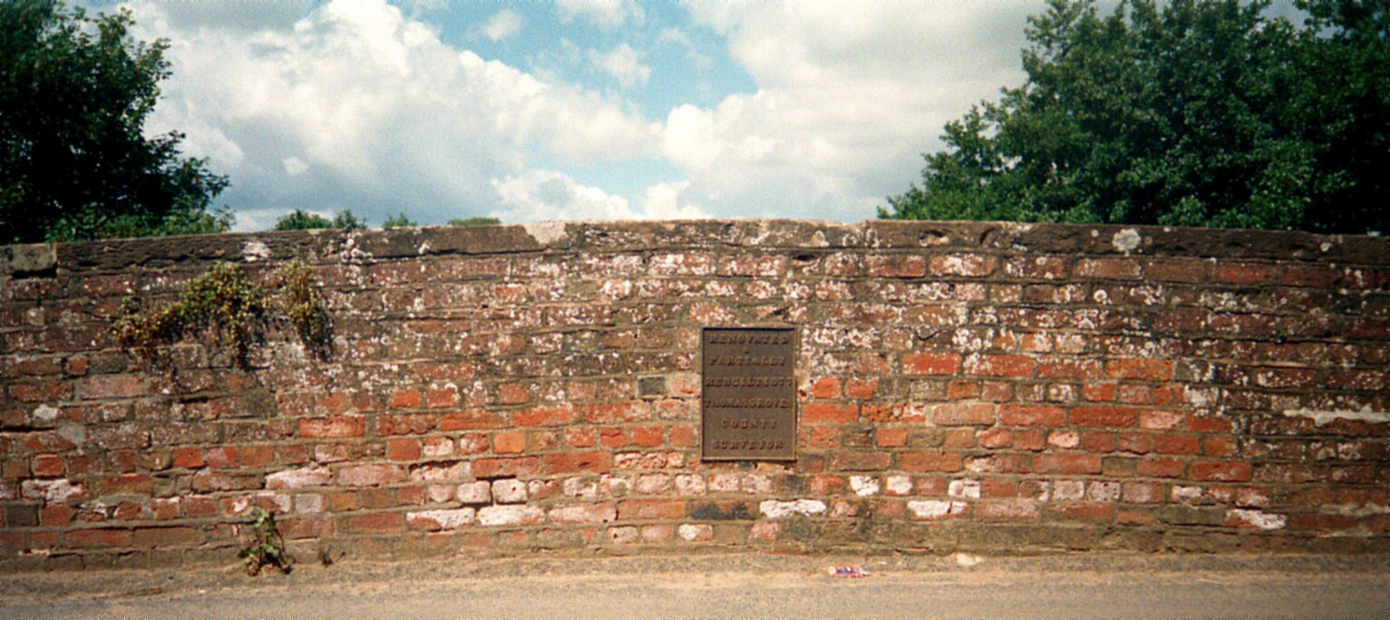
They were first visited in July 2000. The first
place visited was the Ashford Bridge across the River Teme, north of the two
settlements. The bridge is built of brick and has a metal plaque in the centre
of it to commemorate its building. It was designed by Thomas Telford and was
opened in 1797. After this, the ford at Ashford fell into disuse.
 |
 |
Ashford Bridge and the metal plaque | The side of the bridge |
 |
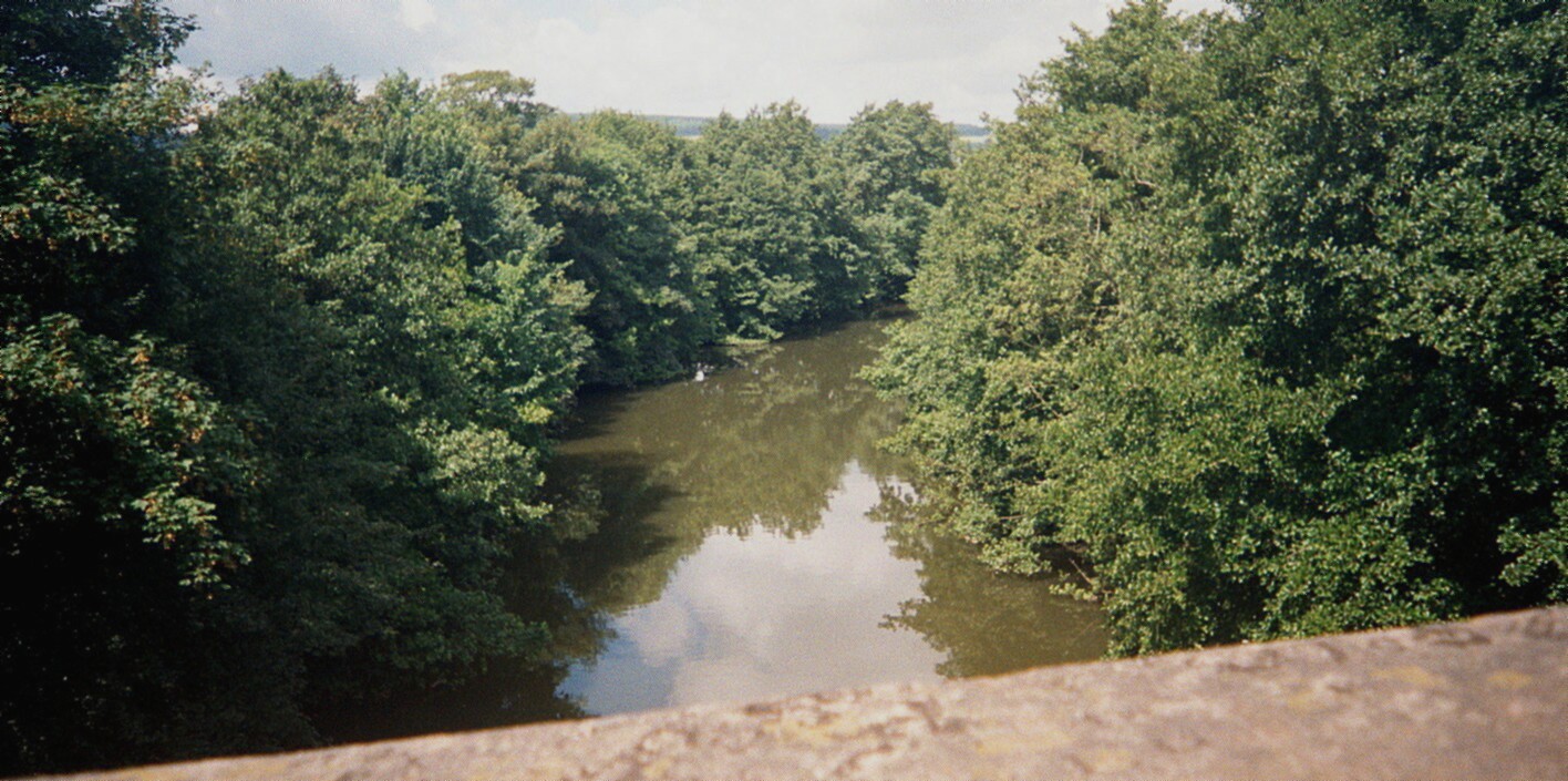 |
Looking downstream towards the villages |
Looking upstream, north towards Ludlow |
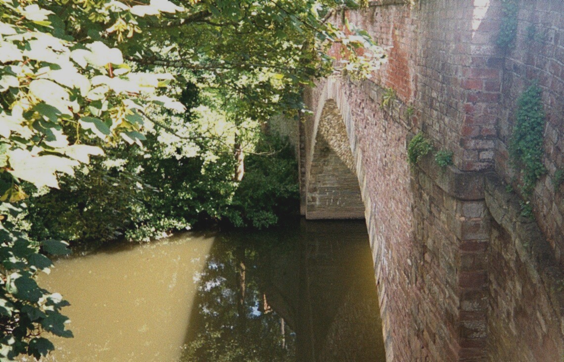
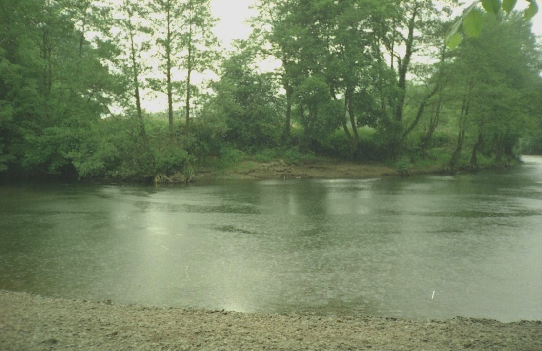
The river is deep and slow-moving at this point,
above the weir, and the ford lay further downstream and closer to the two
settlements of Ashford Bowdler and Ashford Carbonel. It was possible to
park on the outskirts of the Ashford Carbonel and walk back towards the bridge
along a public footpath. From here photographs were taken of the river and
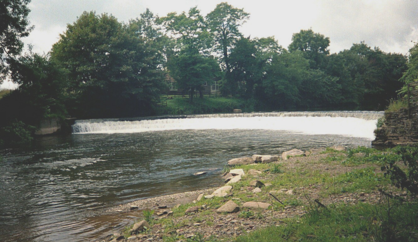
the weir. The weir and the old mill house lie a short distance downstream from
the bridge and the weir explains why the river is so deep and slow-moving
beneath the bridge.
 |
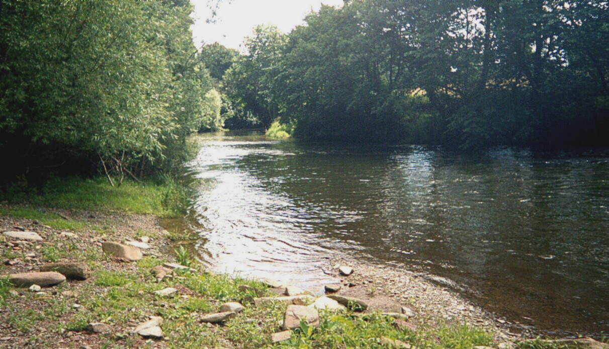 |
The river below the weir. Here the river is shallow and the
bottom is hard gravel. |
This shows the river just below the weir, where the bank
slopes gently down to the water’s edge. |
 |
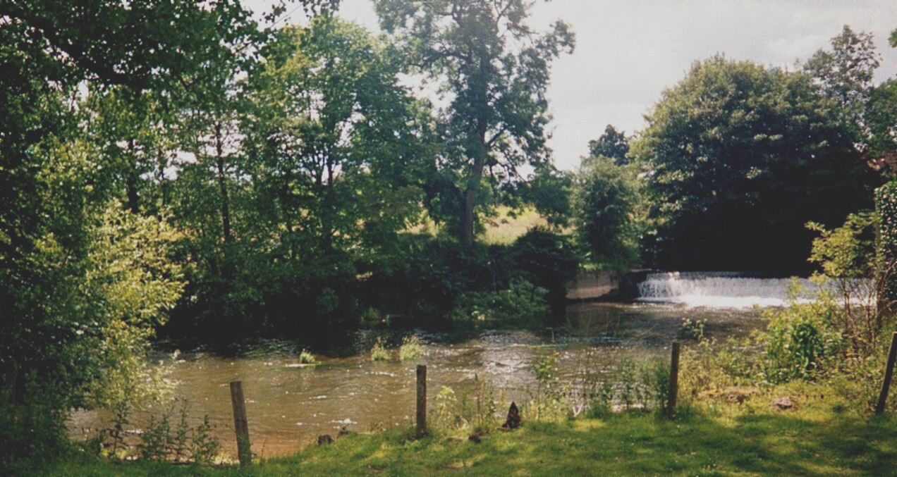 |
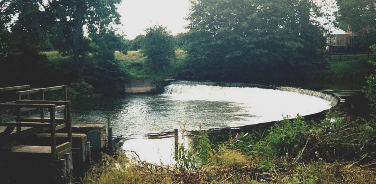
On the far side of the weir, there appears to be a track
running down to the water’s edge. |
Another view of the weir |
 |
 |
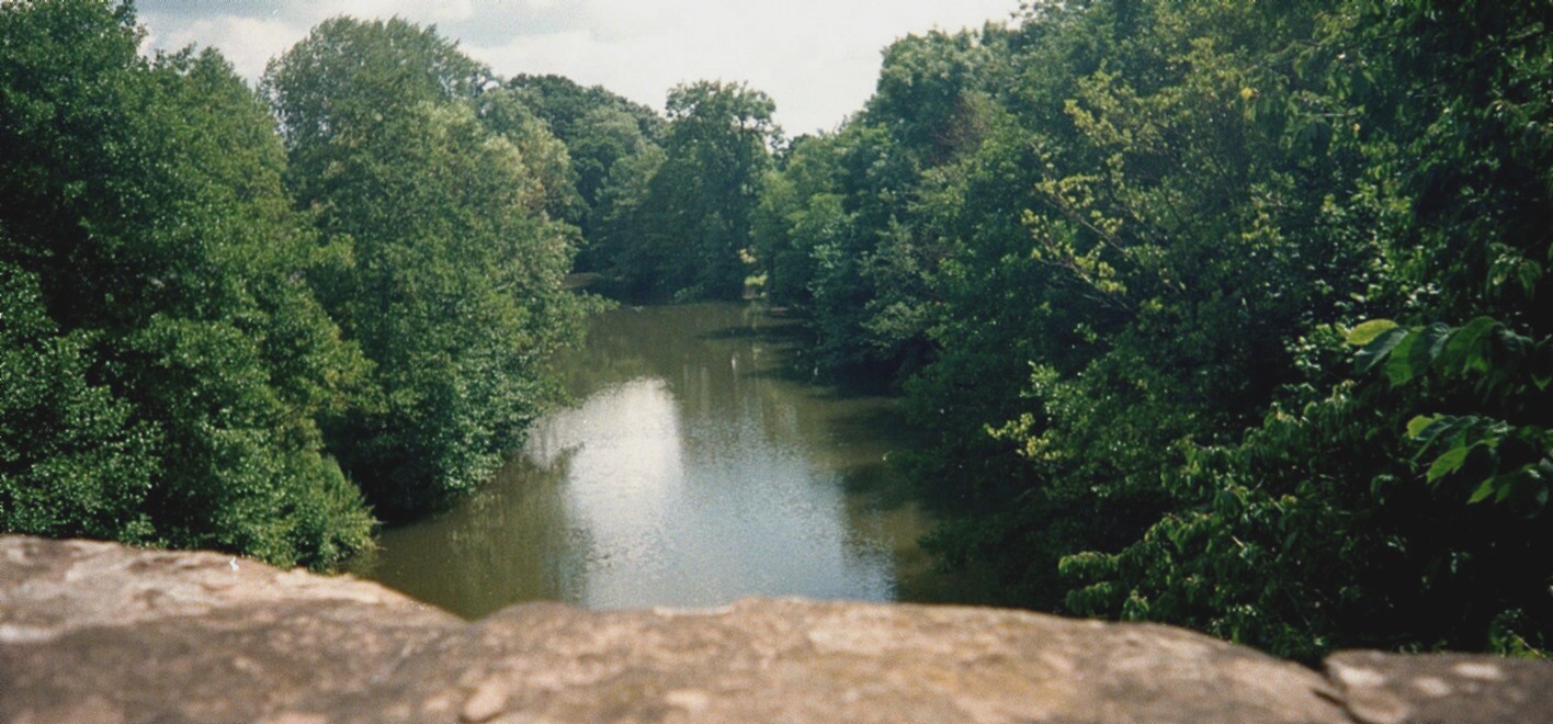
The side of the bridge from the footpath |
The second picture lies to the right of the first |
Additional Information.
The publication “Ashford Carbonel: A Peculiar Parish. A
Brief History” by Phyllis M. Ray was bought from a bookshop in Ludlow. She
suggests that the ford was actually a little further downstream from the
position by the weir and at the end of “River Lane” at a place called “Teme’s
Green”. Another visit was made the next summer to drive to the end of River
Lane and examine this site. She suggests that the track from the ford continued
past the church and ran parallel to the present road to Caynham to a crossing
of the River Ledwyche a short distance above Pervin Farm. She refers to a
theory (discussed in a pamphlet on the “The Ash Ford” by R Baines et al) that
this track was a “white way” or “salt way” from Droitwich since there are a
number of place names containing the element “whit” or similar along the route.
She also mentions a suggestion that the pack-donkeys using the route may have
carried iron ore rather than salt, and notes that there is no evidence to say
whether or not it was also used as a drove road.
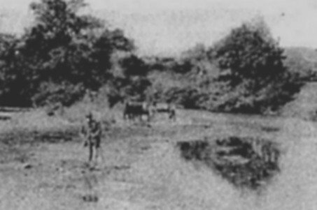 |
The site of the ash-ford was shown in an old photograph showing carts
removing loads of gravel from Teme’s Green. This was said to be dated
circa 1910 and was taken from the River Lane (the footpath I went down
on my second visit) looking towards Ashford Bowdler.
The old man in the front was said to be fishing
in the river. |
In addition to the route crossing the ford, she mentioned
two other routes through the parish from Steventon, south of Ludlow, to
Little Hereford. The first, which survives as a mixture of roads and footpaths,
passes through the village of Ashford Carbonel and the second survives as a
minor road to the east of the village, past the Serpent and on to join the
main road just short of Little Hereford. She does not mention any routes on
the far side of the river, but the road from the ford through Ashford Bowdler
would presumably continue in the direction of Richards Castle.
Second Visit.
Later in the autumn, on a cruise of the Aegean, we met
the couple (Mr and Mrs Thursfield) who currently own the house in whose
garden the "ash-ford" is situated. They invited me to return next year
and photograph this ford, which I did on 6th June 2001.
 |
 |
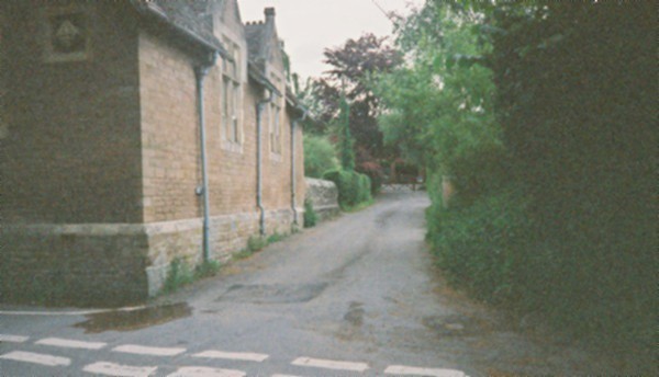
The road leading away from the river through Ashford Carbonel,
on the line of the old salt way. |
This no longer continued very far, but showed the line of the
old route. |
 |
 |
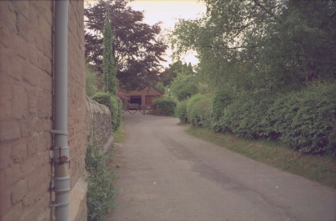
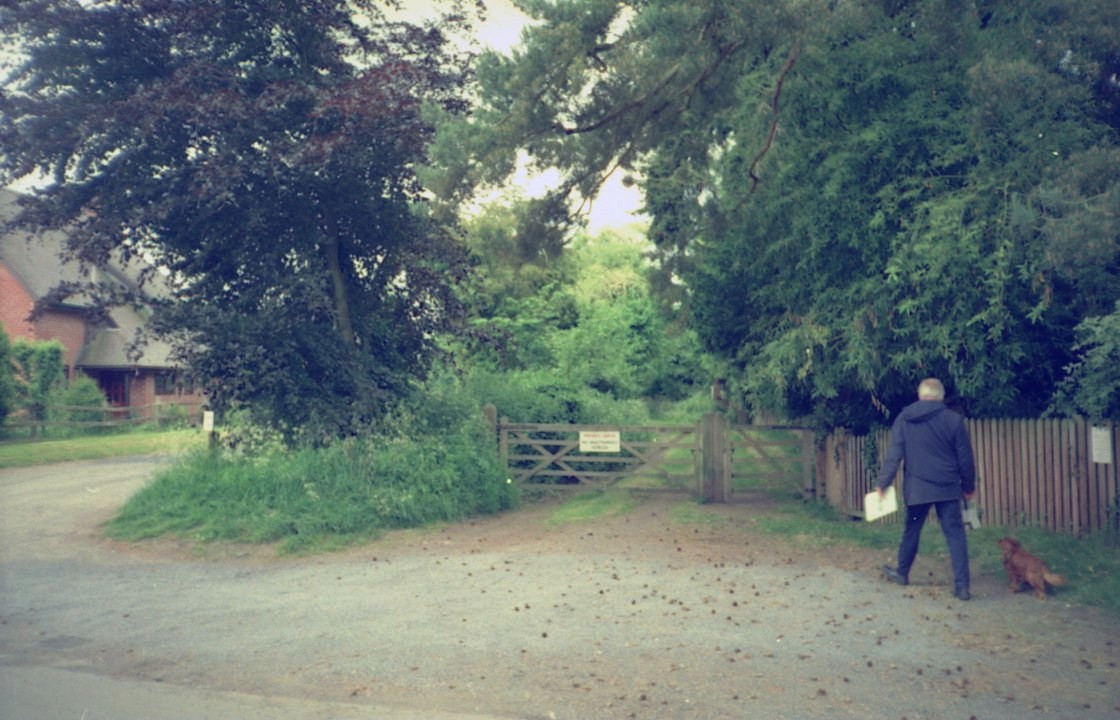
The modern road bent round a garden and continued through
the village. |
Across the road, a gateway and green track showed the line of
the old road to the ford. |
 |
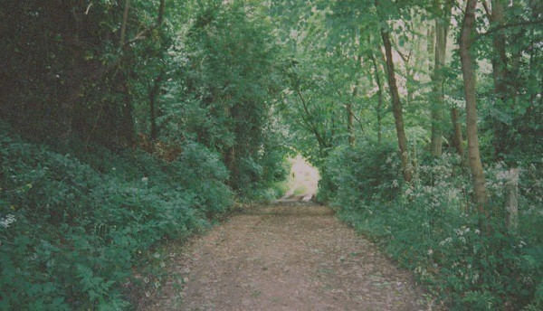 |
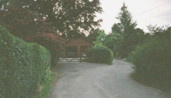
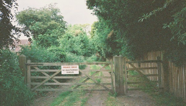
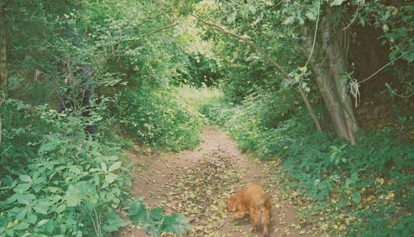
The owner and his dog showed me the way down to the river. |
The track continued down to the river and remained clear and visible,
although it was no longer a public highway. |
 |
 |
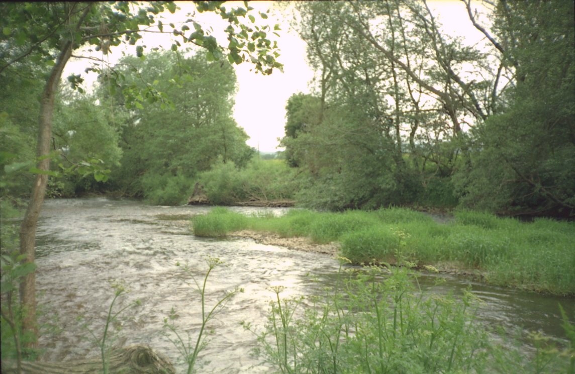
The next picture showed that track sloped gently down to the river. |
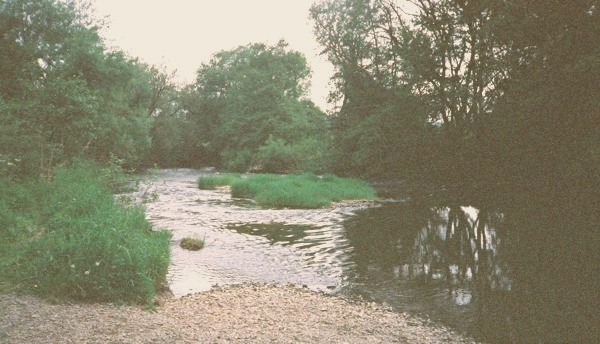
Arriving at the river, the shingle bar showed where
the track originally ran down into the ford. |
There was another easy slope in the river bank just
beyond the island in the picture and this was the best ford
at present. Either between or among the trees on the far side was a
possible place to ford the river and climb up the bank.
From this side of the river, it was not possible to
be sure whether wheeled vehicles could ford the river and climb the bank,
but this was definitely the site of the ash-ford in the past. None of the
trees there on my visit were ashes, but they must have grown there
in the past.
 |
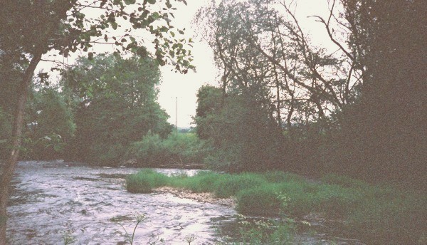 |
Looking downstream at the island |
Looking across the river by the island |
 |
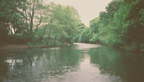 |
Looking across the river |
Looking upstream |
I was told that the river shifts with each winter’s
floods. The shallow part where it was still possible to ford the river
may be seen running across the island in the middle and was indicated
by the ripples in the water. Immediately opposite the end of the track,
and on the probable line of the original ford, was a very deep hole where
gravel had been removed from the river bed. This was shown in the next picture,
where the far bank sloped gently down to the river. The final picture showed
the view looking upstream.
References: OS Langranger map No. 137.
Phyllis M. Ray, Ashford Carbonel: A Peculiar Parish. A Brief
History
Margaret Gelling in collaboration with H.D.G.Foxall, The Place Names of
Shropshire, Part One: Major Names, English Place Names Society (1990),
pp.19-20.
Page maintained by Susan Laflin.
Last updated October 2003.